Walkable Cities

Write-up Contributor:

Conscious Design Principles

Aware principle iconCollaborative principle icon

Designing for Life

Agency & AutonomyComfort & AccessibilitySafety & Security

Balaji Layout, Cooke Town, Bengaluru, Karnataka 560005, India

Walkable Cities is a national initiative by Sensing Local aimed at improving urban walkability by strategically investing in Priority Walking Networks (PWN)—key routes that maximize safety, comfort, and accessibility for all pedestrians.

Operating in a landscape where master plans were either failing or, as in the case of Bangalore, non-existent, we recognised that urban improvement could not rely solely on top-down mandates. Instead, the focus shifted toward how urban systems are understood, designed, and lived; shifting the narrative from viewing citizens as “obstacles to delay” to “allies in co-creation.”

The initiative addresses a critical challenge: limited road space and municipal budgets make it impractical to fix footpaths on every street. As a result, footpath development often happens in small, disconnected stretches, offering minimal benefit to pedestrians.

At the core of Walkable Cities is Step Up, a digital planning tool with four key components:

  • Identifying Priority Walking Networks (PWN): Mapping the most essential pedestrian routes at the ward, neighborhood, or city level.
  • Citizen-Led Walkability Audits: Ensuring high-accuracy data collection while fostering local ownership.
  • Data-Driven Budgeting: Using issue data to guide municipal spending effectively.
  • Insights for Local Projects: Informing initiatives like safe school zones, pedestrian streets, and parking plans.

By focusing on strategic investments and data-driven decision-making, Walkable Cities ensures that walkability improvements deliver the greatest impact where they are needed most.

Sobia Rafiq, Ankit Bhargava, Krishnendu Mani, Hariharan Subramaniyan, Abhishek Sahu, Flora Alexander

Conscious Design Principles

Conscious Design Principles promote the emergence of healthy built environments and a generative people-place dialogue. The principles highlight the importance of collaborative processes, more aware decision-making based on context and evidence, and responsive qualities that enable adaptation and attunement over time. Explore how this project applied the principles:

Collaborative

01-Co-Imagined-transp

Co-imagined

02-Co-Designed-transp

Co-designed

03-Co-Created-transp

Co-created

04-Co-Stewarded-transp

Co-stewarded

Co-imagined

In our work, urban planning is a co-imagined process. We believe that shared intention is not something handed down, but something that emerges from the ground up through cross-sector dialogue. When we initiate a project, we don’t start with blueprints; we start by bringing together citizens, government officials, and technical experts to imagine what a neighbourhood could be. This collective imagination is what breaks the gridlock of traditional bureaucracy.

The process of conducting audits, organising volunteers and the parameters to assess walkability have come as a result of close engagement with local community groups and government officials, learning from the problem they face as well as from the audit experiences of volunteers involved in the project.

Co-created

We move out of the office and into the streets, holding focus groups and co-creating design ideas through civic-participation. Whether it is local architects co-designing pedestrian routes or volunteers auditing footpaths, these multi-disciplinary teams ensure that design decisions are informed by those who live them daily. In this way local knowledge is not just respected but is primary data. By asking residents to help envision everything from signage to play equipment, the space transforms the city-making process into an act of shared ownership.

Working with local stakeholders, including resident-welfare associations, volunteers and by enabling community-led events, we ensure that the spaces we create are cared for and used by the community long after we finish our initial work.


Aware

05-Context-Driven-transp

Context Driven

06-Evidence-Based-transp

Evidence Based

07-Integrated-transp

Integrated

08-Observational-transp

Observational

In Malleswaram, a neighborhood designed 100 years ago as a highly walkable grid, we saw a modern crisis: the elderly were locked inside because of poor footpath conditions and car-centric infrastructure. Instead of trying to rebuild main roads from scratch, we looked to the history of the place. We discovered a network of “conservancy lanes”— less accessed back alleys designed in the olden times as ‘service lanes’ for manual sewage collection—and now repurposed them as green, pedestrian-only corridors. We didn’t impose a new design; we made the city aware of its own forgotten assets.

Context Driven

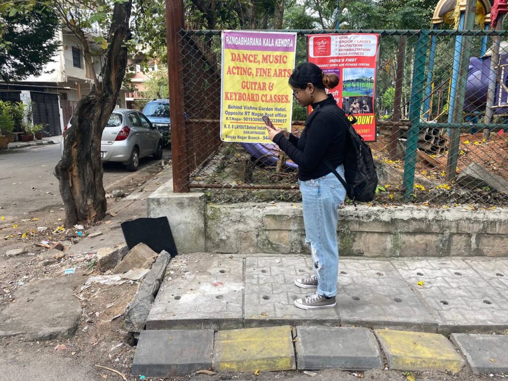
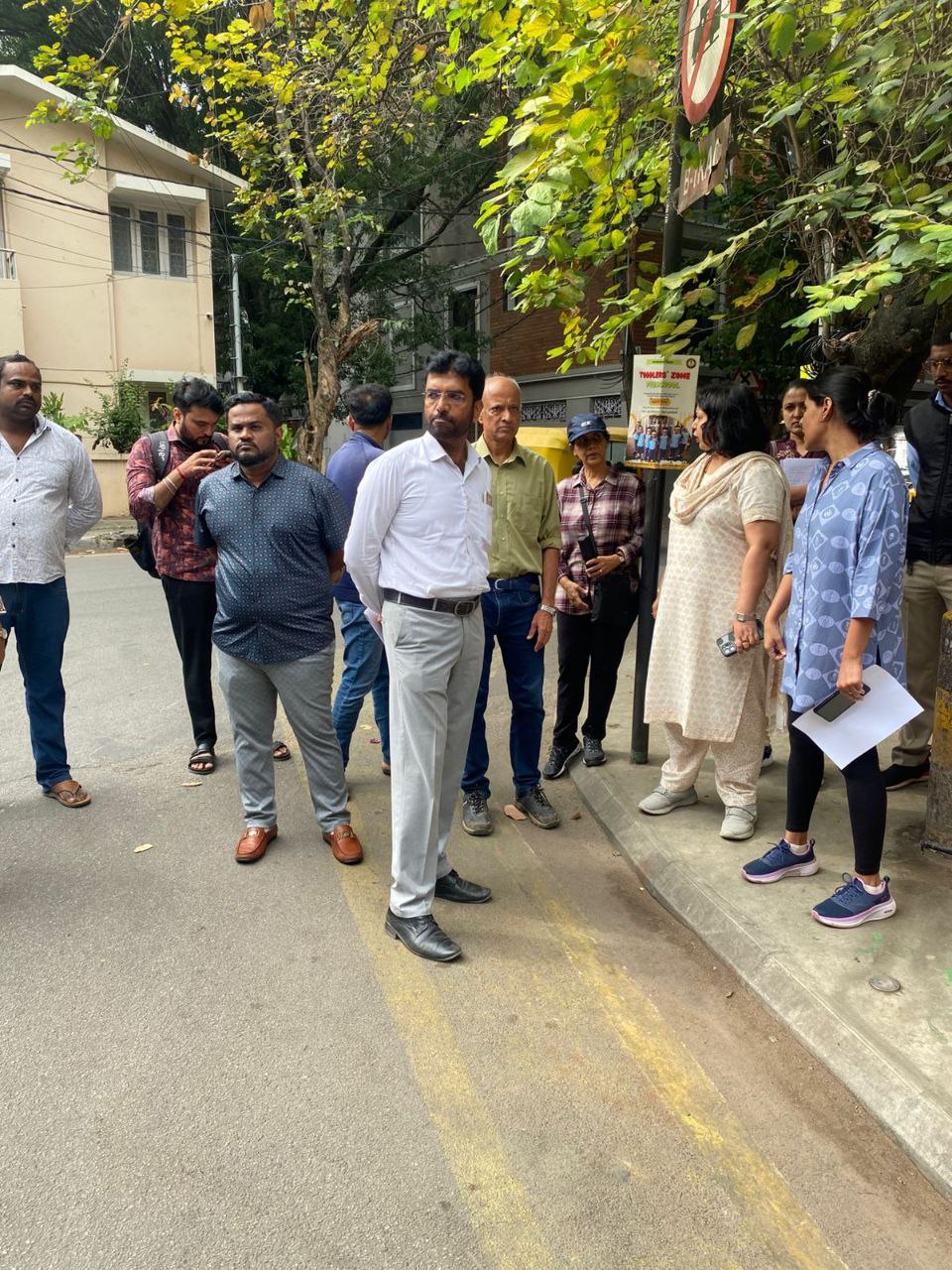
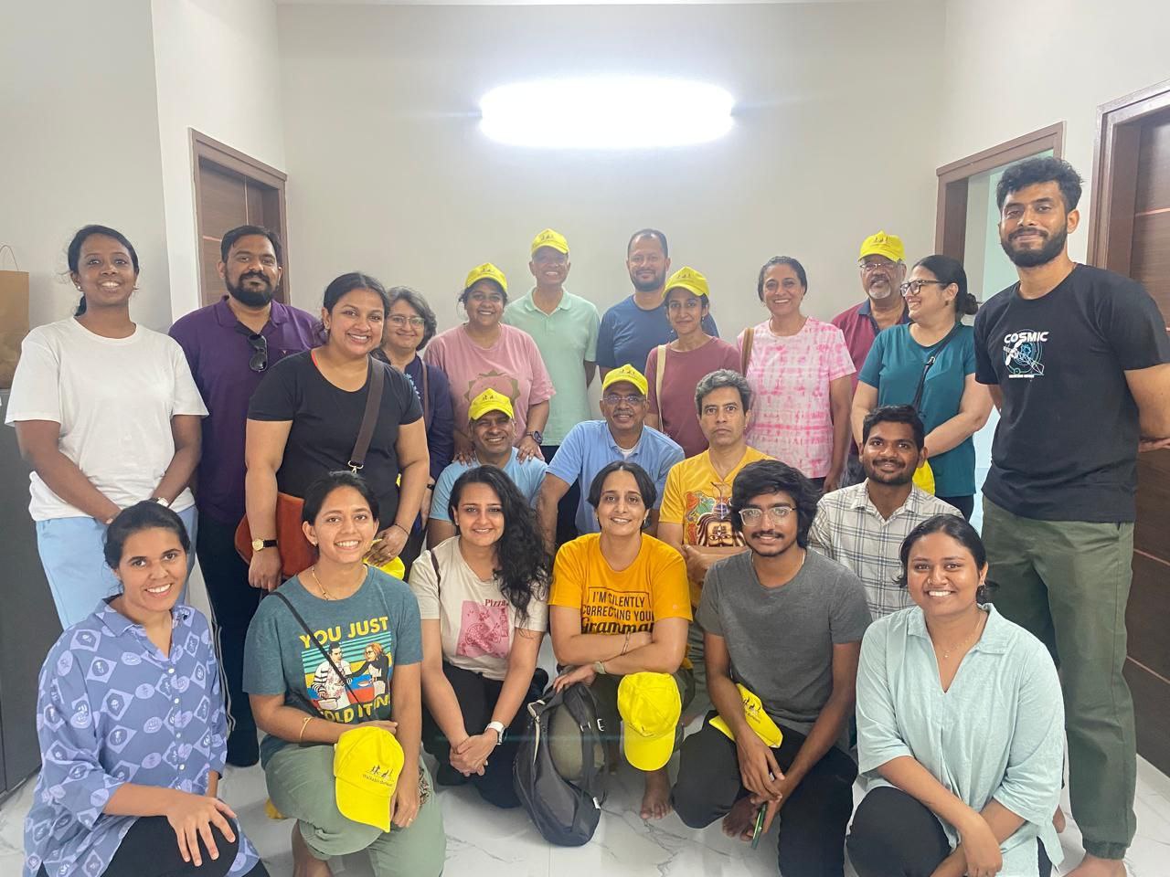
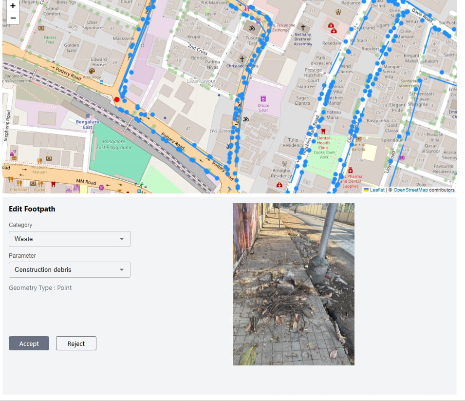
As part of the walkability assessment, citizen volunteers use a mobile app to collect highly accurate, geo-tagged data on ground-level issues, supported by photos. This creates indisputable evidence that can be immediately shared with government authorities for action.

Evidence Based and  Observational 

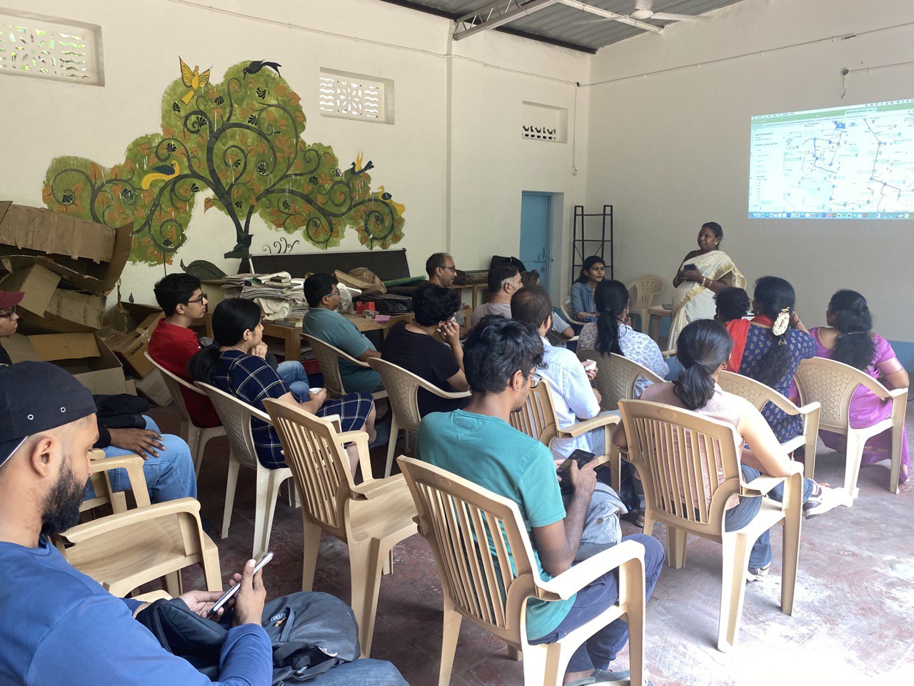
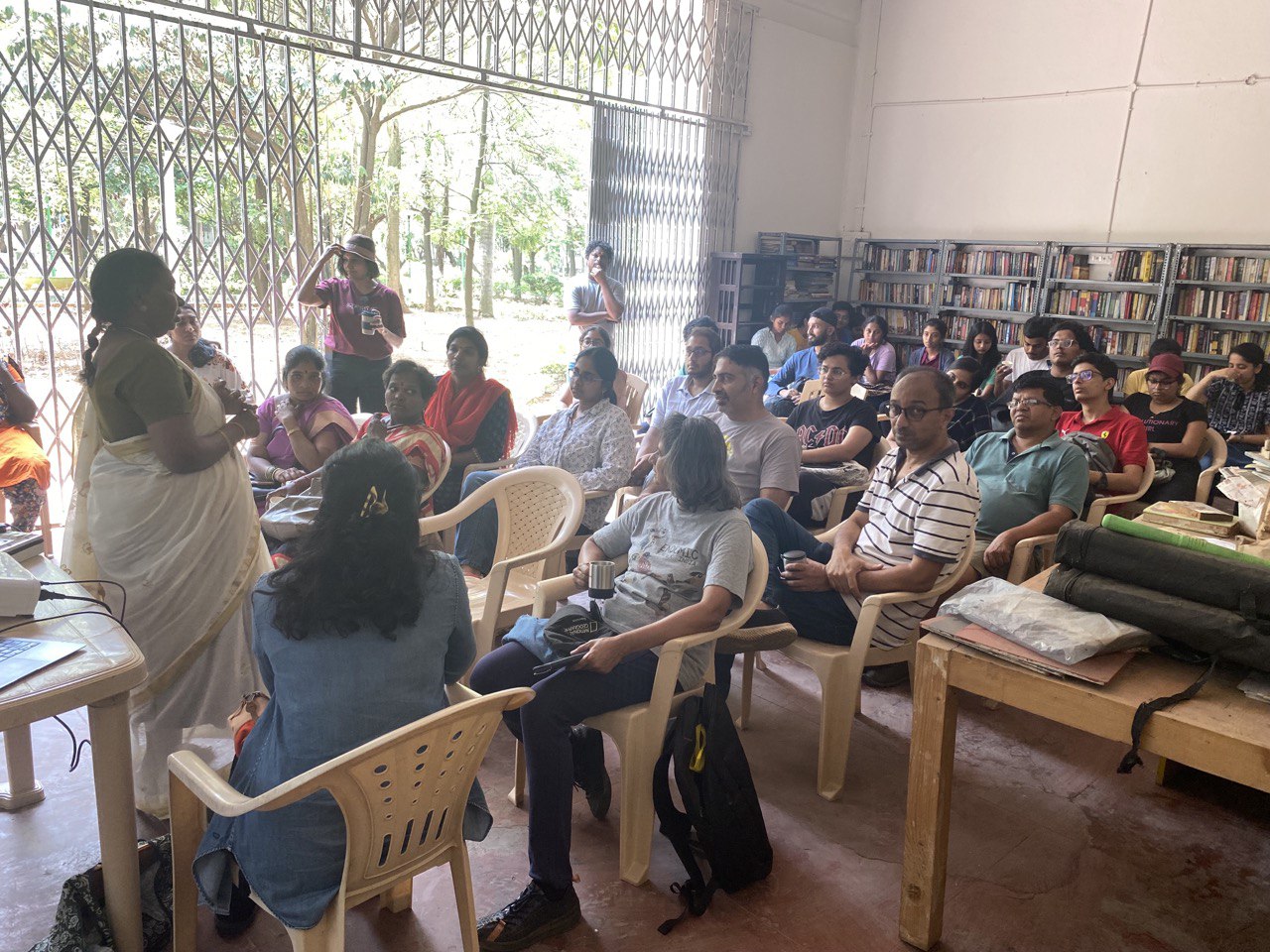
Beyond data collection, each walkability audit culminates in a community discussion where volunteers and local residents reflect on the findings, share observations, and compare them with lived experiences. Additional insights are documented in ward-level diaries.

For example, obstructions on footpaths may not always be visible during audits, which typically take place between 8–10 AM. Since shops open later, volunteers might not immediately spot vendors encroaching on footpaths or vehicles parking illegally. Such instances are captured through community discussions, ensuring a more comprehensive understanding of walkability challenges.

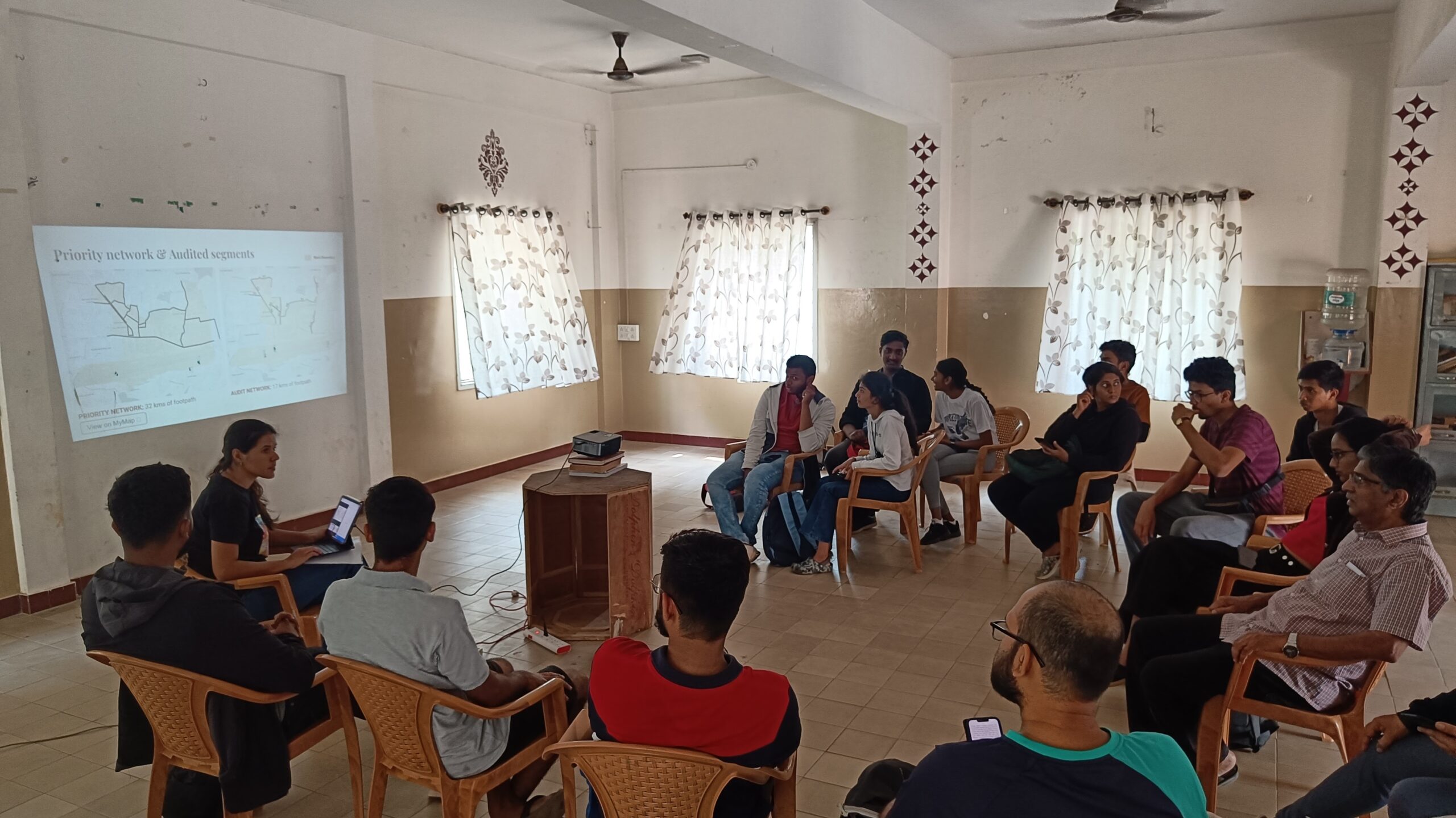
All data from walkability audits and budget estimations is published on a publicly accessible dashboard. This platform allows users to filter data by issue type and geography—ranging from the city level down to specific wards, streets, and junctions.

Integrated

The goal is to create a digital data commons that empowers both government officials and local communities to make data-driven decisions. By analyzing issue intensity, required budgets, and potential impact, stakeholders can strategically prioritise improvements for streets and junctions that need them most. The audit parameters for walkability and the solutions and rates for budget estimation are customised for each city.

Through the “Walkable Cities” initiative, we aim to empower other community groups to audit their own streets. By making a city aware of itself, it becomes a more responsive environment that aligns with the needs of the people it serves.

Read more about Sensing Local’s ‘Urban Living Labs’ here.